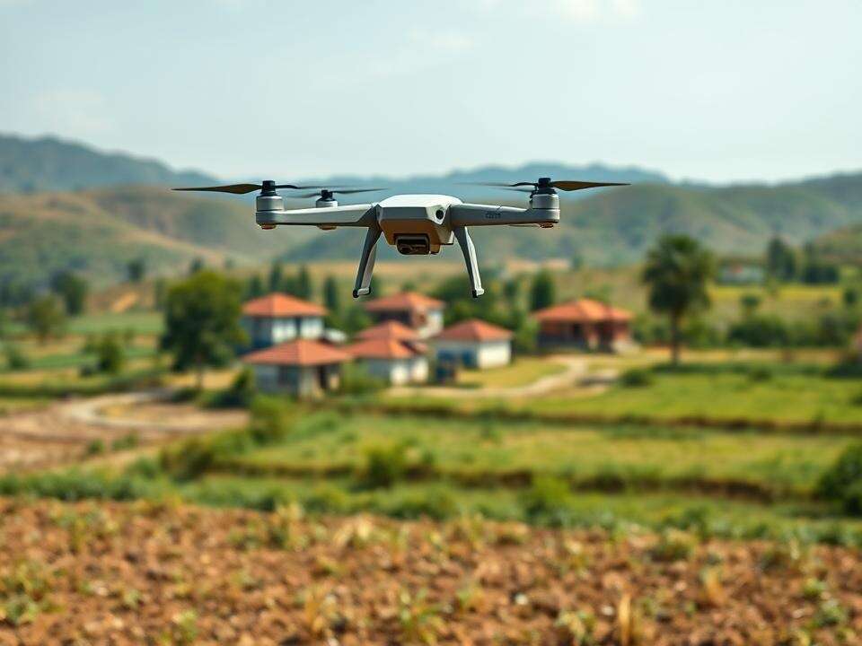
BEGNALURU: In a major push to accelerate property surveys under the Centre’s Survey of Villages and Mapping with Improvised Technology in Village Areas (SVAMITVA) scheme, the state govt has sought clearance from the Union ministry of civil aviation (MoCA) to fly drones over 353 red zone villages.
These villages lie near sensitive areas such as airports, military bases, and high-security zones, where drone use requires prior approval from the Centre. The move is part of the state’s plan to complete drone-based surveys across all 30,715 villages by March 2026, aiming to provide legal ownership records and resolve rural land disputes.
Union panchayat raj minister SP Singh Baghel recently told the Rajya Sabha that Karnataka and the Survey of India have formally requested permission from the MoCA to conduct drone flights over these restricted zones. Once approved, surveys in the remaining villages will begin immediately. MoCA is expected to grant permission but with operational riders, officials said.
SVAMITVA scheme is a flagship initiative that uses drone technology to demarcate residential areas in rural villages, generating property ownership cards and ensuring clarity to land rights. As of the end of July, surveys had already been completed in 23,338 villages, data from the state’s survey settlement and land records (SSLR) department shows. The remaining work is being taken up in partnership with Survey of India.
J Manjunath, SSLR commissioner, told TOI: “The govt is conducting surveys for properties located in gramthanas (village boundaries) and residential properties near gramthanas for the first time. After the drone survey, field surveyors will conduct spot surveys with the cooperation of villagers and prepare a village map containing all information from properties to drainage.”
Manjunath said people can make corrections before final property cards are issued. “After completing surveys and verifying property documents available with owners and gram panchayats, we will generate draft property cards and issue them to owners. If disputes remain, necessary corrections will be done based on supporting documents and later final property card will be issued to owners,” he said.
Data from the revenue department shows draft property cards have already been prepared for 10.2 lakh properties in 4,125 villages. Work on the remaining villages is set to begin once MoCA gives the green light.


